|
1GIS Analysis Tools (ArcGIS & QGIS)
|
| Extract |
| Overlay |
| Proximity (Buffer, Multiple Ring Buffer, etc.) |
| Statistics |
|
2Network Analysis
|
| Finding the Shortest route |
| New Service Area |
| Closest Facility |
| OD Cost Matrix |
| Location Allocation |
|
3Introduction to Remote Sensing
|
| Aerial and Satellite and Remote Sensing |
| Types of satellites |
| Applications of Remote Sensing |
| Hyperspectral Data Analysis |
| Normalized Difference Vegetation Index (NDVI) |
|
4Image Classification
|
| Training samples |
| Evaluating training samples |
| Editing classes |
| Creating the signature file |
| Examining the signature file |
| Editing the signature file |
| Applying classification |
| Post-classification processing |
|
5Spatial Analysis & Statistics
|
| Change detection |
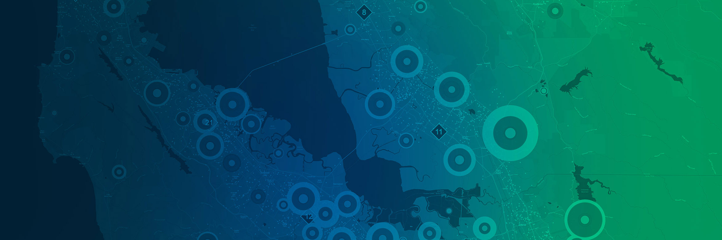
| Crime Analysis |
| Fishnet and mesh analysis |
| Hot Spot Analysis and Heat map |
| Watershed/Hydrological Analysis |
| Geostatistical Analysis |
| Overlay analysis |
| Zonal Statistics |
|
6Model Builder
|
| Building Models for GIS Analysis using ArcGIS |
| Create a new geoprocessing model |
| Validating the model |
| Set model parameters |
| Prepare the model for sharing |
|
73D Modeling
|
| Contour |
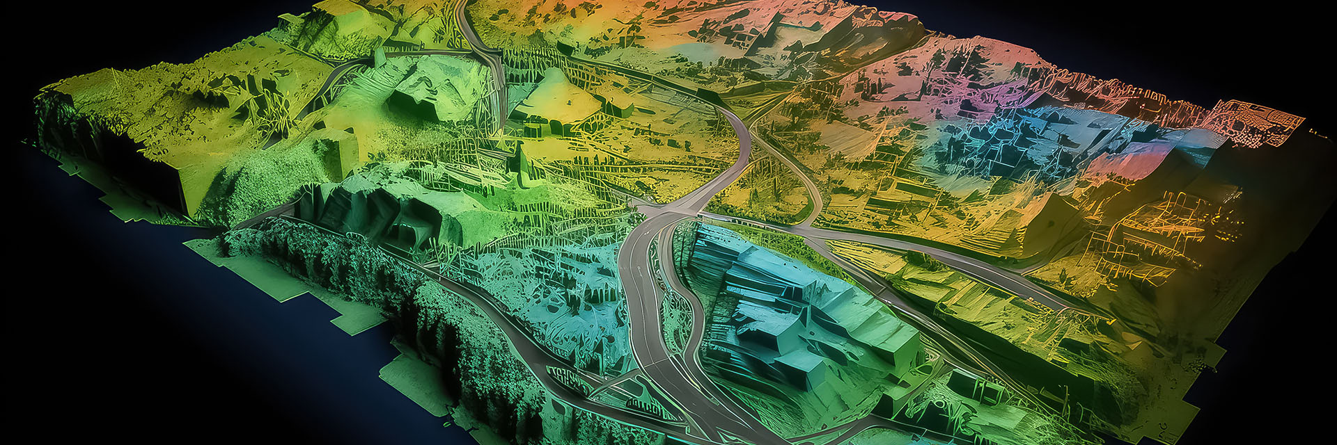
| Digital Elevation Models, Digital Terrain Modelling |
| SRTM Data |
| 3D Analysis - Triangulated Irregular networks (TINs) |
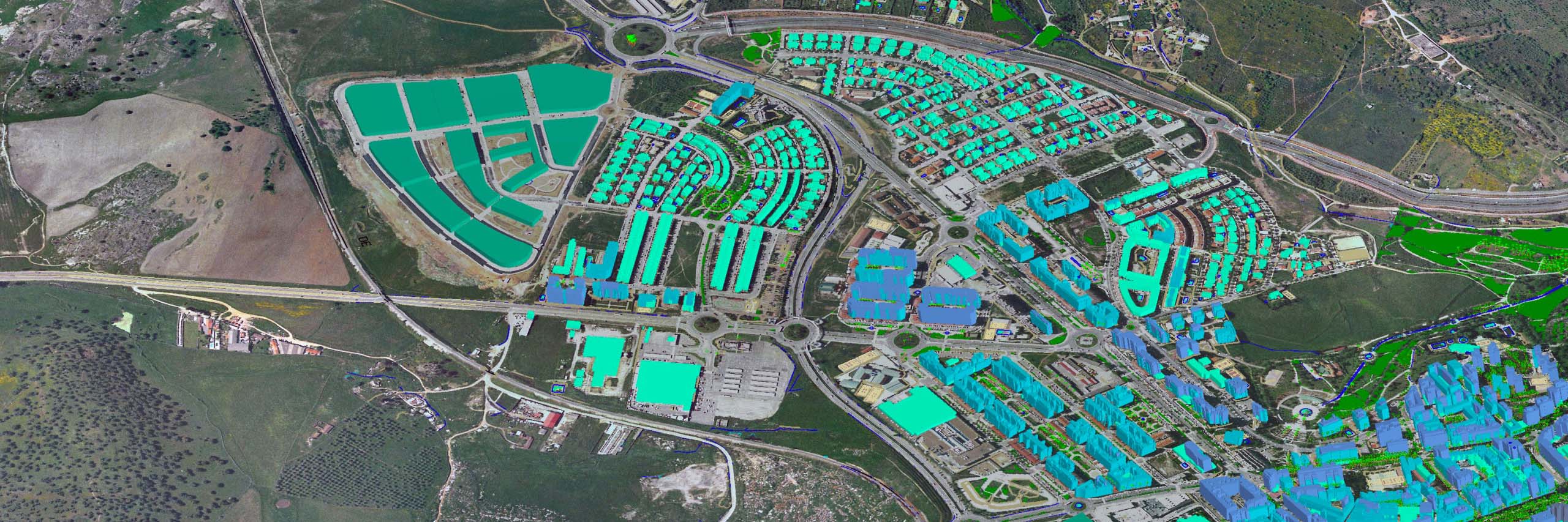
| 3D visualization using Arc Scene |
| Relief, Hill shade, View Shed |
| Multipatch |